Geodata Portal of the City of Fribourg
FR
|
DE
|
EN
Free access to public data from the GIS of the City of Fribourg, in accordance with the principles of Open Government Data (OGD)
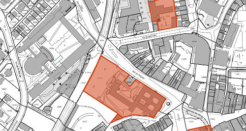
Cartographic Portal
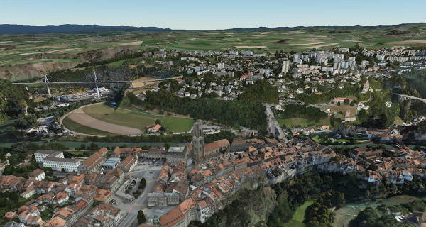
3D Portal
Public layers catalog
Web Mapping Services (WMS)
Layers (geoJSON)
Layers (GeoPackage)
Cadastral Survey (DXF)
Orthophoto (geoTIFF)
DTM (DXF)
Contour Lines (DXF)
Point Cloud (LAZ)
Documentation and information